Introduction TrainzDem is a paid program that is licensed for a certain version according to the update. you can learn more on the website of the author of the program.
Here we will describe only the basic elements for creation in the program. First you need to download the DEM files. You can find more information on the page dedicated to this topic:
The next step will be to convert the Trainz grid size DEM files to either 10m or 5m. The files are then saved in the folder you specified with the extension “_t”. Adjust all files to the same grid size! Once all the files are edited you will not have to check where your map will start, the landmark is the file name that contains the world sides: “N” and “E” …For simplicity, movement along the “x” axis is East “E” and vertically along the “z” axis North “N”
N 47° 36′ – E 15° 20′
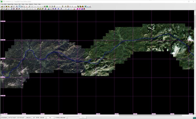
Click “Add Dem…” And select a map, adding maps will increase the total map size. The more maps there are, the slower and more demanding the process will be, so be careful about the load on your Hardware!

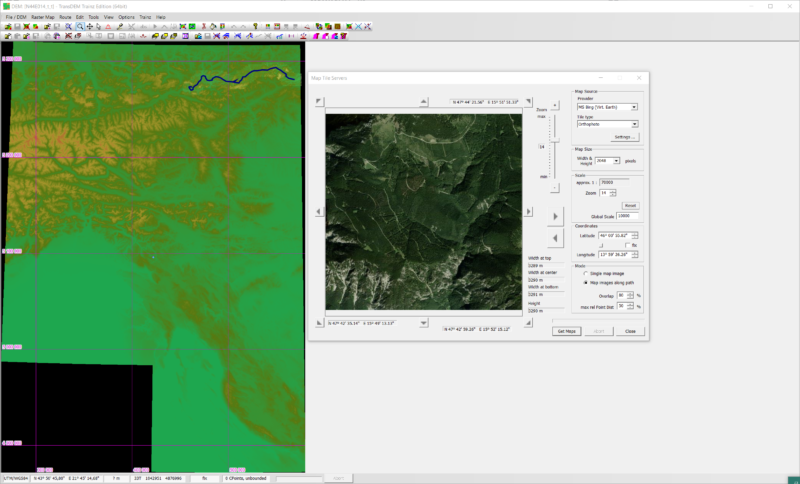
To create a real surface using satellite images, import the file: WMS Sample Settings. In Web Mapping Service.
Now we go to the cork of adding satellite images: Ctrl + Shift + W

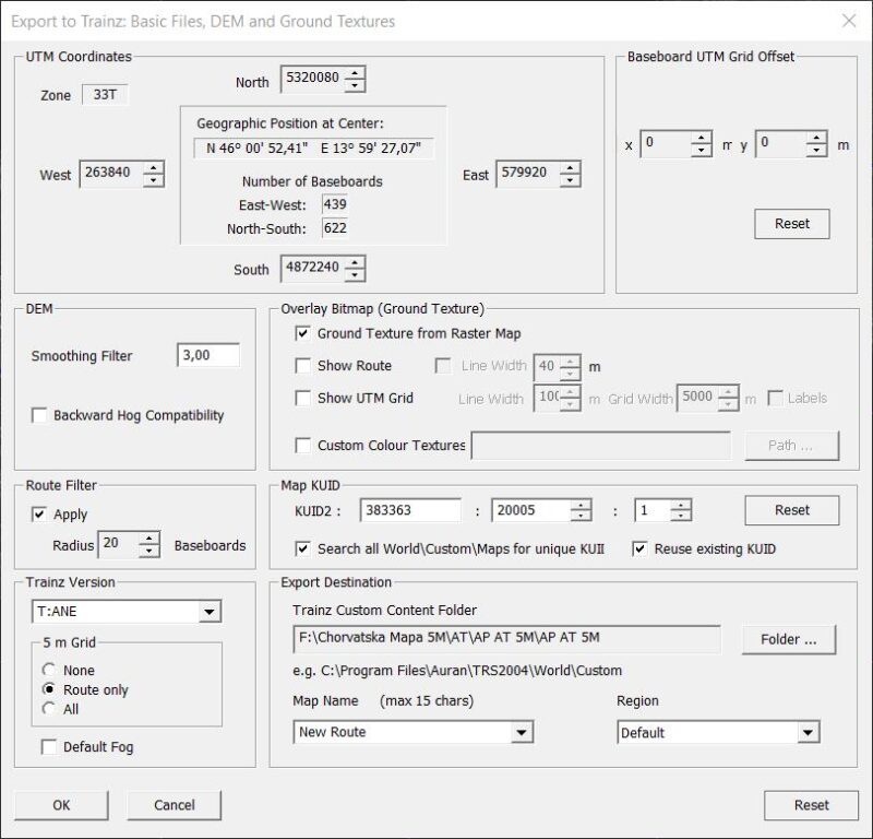
We export the entire project:

More detailed instructions can be found on the website of the program author.

